Today, we know the speed of light travels at 299,792 kilometers per second in a vacuum – a very fast but finite speed. But for much of history, philosophers debated whether light took any time to travel at all. Maybe the speed of light was infinite and instantaneous? On September 30, 1676, the Danish astronomer Ole Romer provided the first compelling evidence that the speed of light travels at a finite speed.
Romer had been working in his Paris Observatory recording the timing of the eclipses of Io, one of Jupiter’s moons. After several years of recording this data, he noticed something interesting. When the Earth was closest to Jupiter in its orbit, they happened earlier. When the Earth was farthest away, the eclipses constantly lagged behind by as much as several minutes. Romer realized that when the planets were further apart, the light had to travel farther, and hence took longer to reach his telescope. On September 30, 1676, he made a prediction to the French Academy of Sciences that an eclipse expected in November would occur about ten minutes later than conventional calculations. The November 9th eclipse arrived roughly ten minutes late, just as Romer had predicted. Not everyone was immediately convinced of Romer’s reasoning, but some of the leading scientists of the day were including Christiaan Huygens and Issac Newton, and the idea eventually caught on.
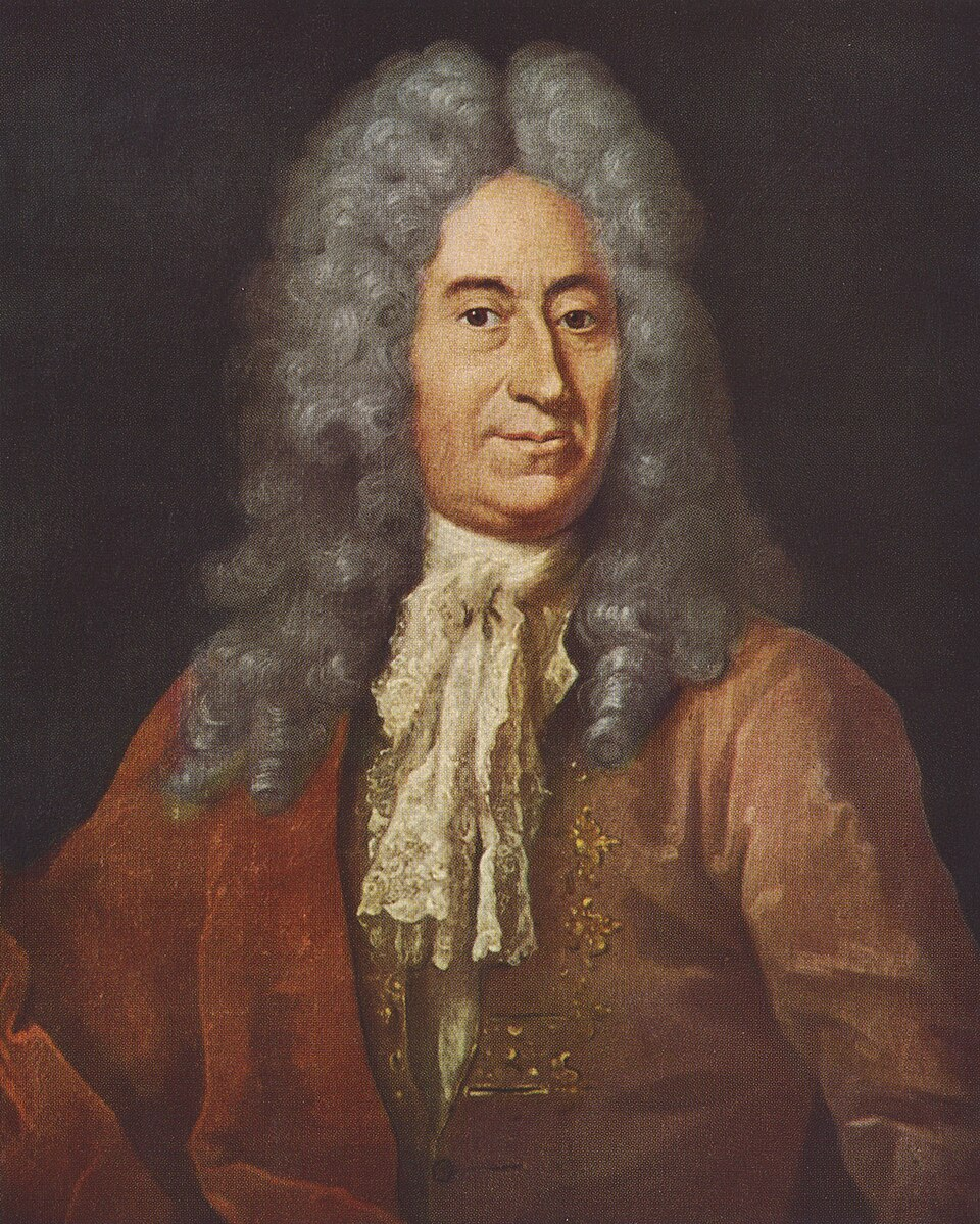
It was the first time in history that light had shown to be finite rather than instant. It was also a remarkable example of scientific ingenuity. Romer couldn’t time a beam of light with a stopwatch. Instead, he used a moon orbiting a planet as a clock, with the Solar System as his laboratory. It’s a perfect example to summarize the scientific process: careful observations, curiosity, and applying ingenuity to reveal a fundamental truth about the universe.
Another day, another discovery. Browse the On This Day Archive.